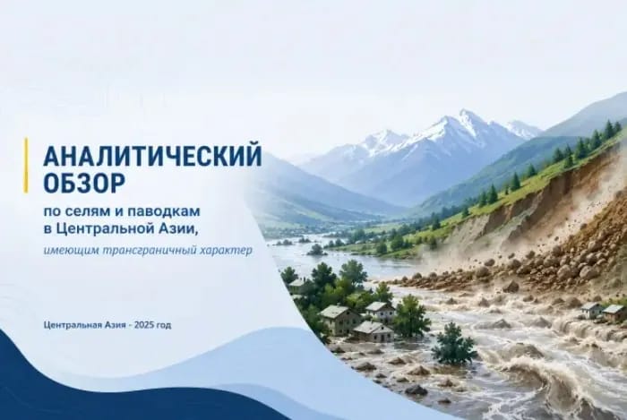
It is reported that over the past 45 years, the average air temperature in Turkmenistan has risen by 1.6 degrees. Warming has also been recorded in other Central Asian countries. Specifically, this indicator is 1 degree in Kyrgyzstan, 1.4 degrees in Kazakhstan and Uzbekistan, and 0.7 degrees in Tajikistan.
These data are presented in an analytical review titled "Transboundary Mudflows and Floods in Central Asia."
Climate change poses a number of serious challenges for Central Asian countries. In particular, the intensification of climate change impacts on water-related natural phenomena is highlighted as one of the key risks for the region.
Currently, the volume of glaciers in the region is decreasing by approximately 0.2–1 percent per year. As glaciers melt, the number and volume of glacial lakes increase. The outburst of such lakes raises the threat of mudflows in mountainous areas.
This situation could primarily affect the safety, housing, and daily life of the population living in mountainous zones. Furthermore, it creates various risks for transport, energy, and other infrastructure facilities located in river valleys and downstream regions.
The analytical review covers 13 major transboundary river basins in Central Asia. They are divided into groups based on the relations between countries facing common risks.
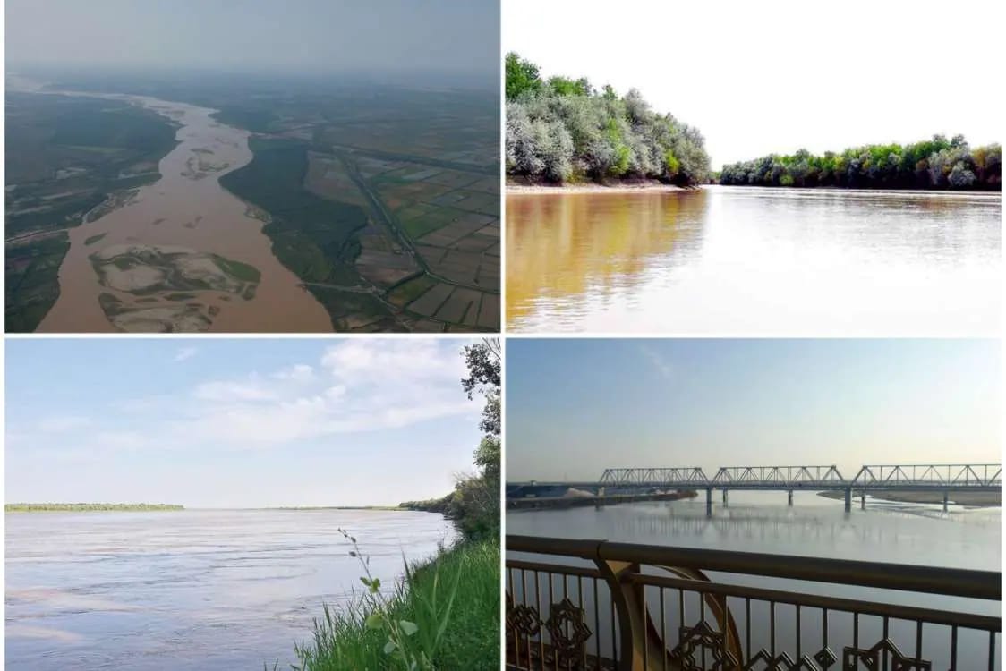
Among them are the Chu and Talas between Kazakhstan and Kyrgyzstan; Shahimardan, Karadarya, Naryn, and Isfayramsay between Kyrgyzstan and Uzbekistan; Isfara between Kyrgyzstan and Tajikistan; Ugam between Kazakhstan and Uzbekistan; Zarafshon between Tajikistan and Uzbekistan; Amu Darya between Turkmenistan and Uzbekistan; and the Syr Darya basin, which encompasses the territories of four states.
The document provides information for each river basin on water flow characteristics, past mudflow and flood events, risk zones, damages caused, and cooperation mechanisms operating between the respective countries.




Comments
No comments yet. Be the first.